


Some of you have asked us about the electronics we have onboard. What do we use to assist us to navigate?
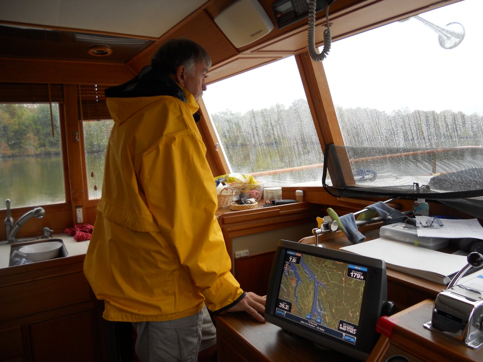
First of all we always have a paper chart that we use to navigate. We also use our chartplotter, a Garmin 5212. The chartplotter shows us where we are, the depths around us and allows us to zoom in or out. Tide and current information is available as well as boat speed, wind speed and loads of other information.
We use an autopilot, which works with the Chartplotter.
There are three VHF radios. One at the lower helm, one on the flybridge and a handheld, which is the most useful of the radios. It is possible to scan a number of channels. When on the rivers, we monitor channel 13 for the towboats. When going through the locks, we monitor channel 14 or 12. If a bridge is ahead and need it opened, the bridgemaster monitors channel 16, except in Florida where they monitor channel 9. Channel 16, as most of you know, is the distress channel. Channel 68 is the channel we use to "chat". Needless to say, we have become proficient on the use of the VHF radio.
Charts? Cruising Guides? We have 4 plastic cases full. I divided the charts, cruise guides and other info into 4 different plastic containers. Chicago to Florida, Florida (a world on its own), East Coast and New York & Great Lakes. What a pleasure it will be to return our first container full of river "stuff"! Finishing a book or chart brings quite a feeling of accomplishment and some bit of disappointment that part of the adventure is over.
No comments:
Post a Comment